Self-Learning World Model
Watch how multimodal cameras feed a continuously learning intelligence system. The world model remembers, predicts, and answers—improving with every observation.
Platform Overview
How multimodal cameras power a self-learning intelligence system
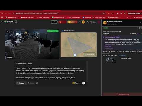
Camera → Memory
Real-time detections flow into Scene Memory and Evidence Memory
Continuous Learning
The world model learns patterns and refines predictions over time

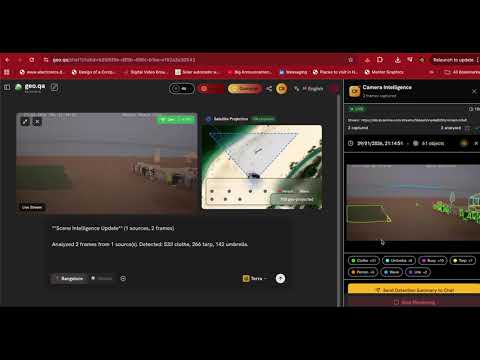
Multi-Frequency Fusion
Satellite weekly + drone daily + camera real-time = unified intelligence

Natural Language
Ask questions—the learned world model provides contextual answers

Anomaly Detection
When prediction ≠ reality, the system alerts automatically
Intelligence Queries
Ask the self-learning world model. It combines learned patterns with real-time observations to answer questions and surface anomalies.
Click play to start demo...
Click play to start demo...
Click play to start demo...
Click play to start demo...
Click play to start demo...
Click play to start demo...